TGSAT Collars
TGSAT Collars
TGSAT Collars
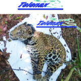
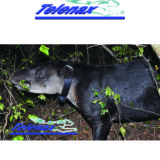
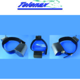
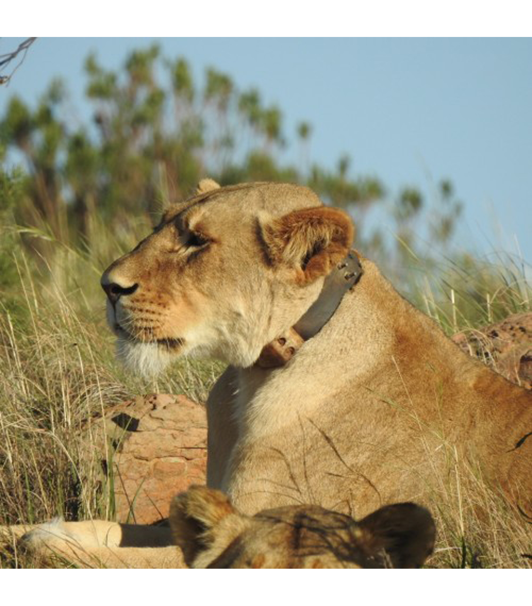
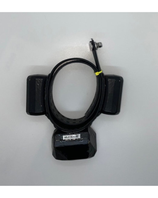
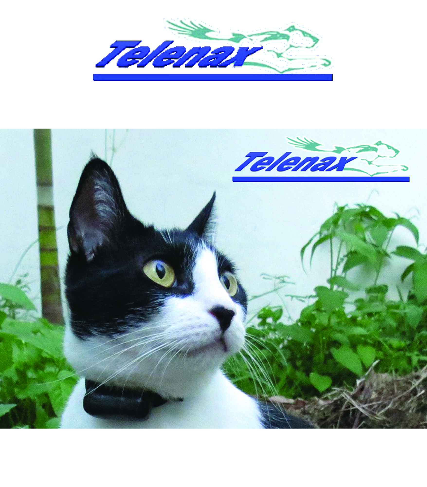
Collars are the most common attachment method for terrestrial species. General rule is that terrestrial animals of more than 5 kg can carry up to 3% of their own weight, theb range increases to 5% for animals that weigh less than 5 kg.
TGSAT
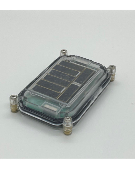
TGSAT family of products is a GPS-Iridium tool specialized for Wildlife tracking applications.
It is not only a GPS receiver that sends information via Satellite so you can receive it conveniently on your computer, no matter where you are. It is much more.
Among its main features are the best and latest in hardware and software technology available as of 2017, along with 7 extra sensors: 3 axis Magnetometer, 3 axis Accelerometer, Activityn Level, Temperature, Battery voltage, Activity-inactivity and Mortality. Also included are features like Geofence, Speed, Data to estimate GPS accuracy, Hibernation, VHF transmitter, Notifications field, and optional Drop-off and Water sensors.
What differentiates us from other companies is our patent pending preventive shield system. This is the capacity of the units to self-monitor hundreds of possible scenarios and recover on their own if necessary, thus greatly increasing reliability. Our programming software is also a state of the art development. With it, you can program your itineraries almost without restrictions, from being able to take GPS and/or Sensors readings up to once per minute to the ability to select ranges (for example, you can take GPS and/or sensor readings every x minutes from yy:yy to zz:zz hours), specific times, or a combination of both, and mix different itineraries for different days.
Starting at 140 grams our GPS-Iridium units are among the lightest of this technology worldwide. We customize every order with standard and customer-defined features such as battery size, attachment technique (collar, backpack, harness, etc), attachment materials, shape, weight and/or size restrictions, etc. We always keep in mind that animal comfort andbwelfare are of great importance.
As we care about nature conservation and research, we have recently increased our Best Price Guarantee in which web promise to keep our prices at least 20% cheaper than other comparable system from other well-recognized wildlife tracking manufacturers.
We are so confident in our technology and reliability that we offer an extended warranty option for up to 3 years. If you are still hesitant, you can lease a unit for your own testing so you can be fully convinced.
Technical Specifications:
- Extremely low power consumption: For example, Collars at around 800 grams can last for up to 5 years at 6 GPS locations per day (Satellite transmission included)b Active GPS antenna and dual GPS-GLONASS receiver: Allows for greater sensitivity, higher success rates and faster GPS time to fix
- 100% Wireless: Allows the unit to be fully encapsulated providing greater protection against outdoor conditions and treatment by wildlife
- Data Output:
– GPS Data: Time / Date / Altitude / Latitude / Longitude / Speed
– Satellites Visible / HDOP: To estimate GPS accuracy per fix
– Activity Level: Allows you to measure how much activity the animal was having at the programmed time.
Example: Resting would give 0, walking ~10, running ~20, fighting ~50
– 3 axis accelerometer: Measures the acceleration or “G” forces in X, Y and Z planes. In the absence of G forces, it measures Gravity to estimate position (mostly inclination)
– 3 axis magnetometer: Measures magnetic fields in X, Y and Z planes. In the absence of any stronger magnetic force it measures the Earth’s Magnetic Field so it can be used to estimate position (mostly direction)
– Temperature: Accuracy ± 2°C. Resolution 0.1°C
– GPS Battery voltage: Indicates when the GPS battery is close to ending
– Mortality: Notification sent in case the unit has not moved for a predetermined amount of time
- Extra features:
– Geofence: Boundaries can be set and e-mail notifications sent when an animal comes in and/or out of the virtual fence
– Water sensor (optional): As GPS does not work under water, this sensor halts the GPS scheduled attempt and waits until it has come out of the water to make it. It also records if the animal is in or out of the water at the scheduled Sensor-only readings
– Hibernation: You can program the unit to switch to a secondary low power itinerary once it detects the animal is in the den, and it deactivates when it comes out
– VHF Transmitter: 100% independent to increase reliability or to share the same battery as the GPS module to minimize size and weight. Its pulsing rate and/or signal strength can be customized to fit the estimated GPS unit’s life
– Activity-Inactivity-Mortality: Included on the pulsing rate of the VHF transmitter
– Memory: Non-Volatile and with a capacity of more than 500,000 rows of data (1 row = 1 GPS position with all Sensors and Notifications included)
– Battery calculator: Based on your created Itinerary, no matter how complex
– Drop-off System (optional):
– Reusable: Easily resettable by the user
– Can be activated in 4 different ways: By exact date
By a determined number of days after turned on
When GPS unit goes into Low battery
On-demand by sending the command with the Tablet
- Data download via Iridium:
– Coverage: Worldwide and always available
– ALL acquired data is sent via satellite because of 2-way communication that allows the terrestrial unit to confirm that the satellites received the data
– Extremely low satellite costs. Example: $0.05 USD per GPS position with Sensors, at 48 per day
– 2 options for satellite data download:
- Live: Position taken is immediately sent by Iridium so you can see the movements almost at the same instant theyhappen
- Efficient: Data is sent in groups of 10 positions so you can optimize costs and battery life to the maximum
– Secure server: Login on our secure server to obtain and control the data of your units
– E-mail forwarding option: The server can be set up to send each location by e-mail
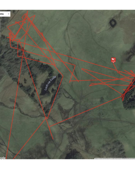
– Output format: Provided in CSV and KML (Google Earth) formats. Easily transferable to other formats - State-of-the-art “Telenax GPS Interaction” (TGI) system: A very easy and intuitive application which is to be installed on a Tablet with Bluetooth system for programming, verification, manual data download and drop-off activation. It has the following capabilities:
– Itinerary Creator: Highly flexible Itineraries, which consist on selecting:
When you want GPS positions to be taken along with Sensors readings. 6 Daily tables at your disposal.
When you want Sensors readings to be taken (without GPS as this saves a lot of battery life). 3 Daily tables at your disposal
If and when you want the unit to turn its Communication System on, so you can wirelessly communicate with it. 3 Daily tables at your disposal
Example: On days 1, 10 and 20 of every month, take GPS with sensors at 02:00, 05:00, then from 07:00 to 10:20 every 10 minutes; then Sensors-only from 10:30 to 18:00 every 30 minutes, and then GPS with sensors at 20:00 and 23:00
– Long communication range: Up to 750 meters LOS (ideal conditions)
– Fast data downloading: Faster than 3,000 rows of data per minute
– Autonomous Data Download (ADD) system: Leave the receiver in the area and it will automatically collect all the data as soon as it can connect with the unit(s)
- Size: From 6 x 5 x 5 cm (batteries included)
- Weight: From ~140 grams(batteries included)
- Life: For example, at 6 GPS locations per day life ranges from up to 1.2 years for the smallest (2xA size battery), and up to 11 years for the largest (4xD size battery) models. Satellite transmission included Collars are the most common attachment method for terrestrial species. General rule is that terrestrial animals of more than 5 kg can carry up to 3% of their own weight, the range increases to 5% for animals that weigh less than 5 kg.


